
Today’s XKCD on the South America map projection is pretty funny:
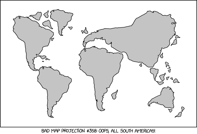
The thing is, you have to read the alt text to really get the joke. It is:
The projection does a good job preserving both distance and azimuth, at the cost of really exaggerating how many South Americas there are.
(If you aren’t familiar with the debates over map projections, the fundamental problem a map has is that it’s impossible to correctly project the surface of a sphere onto a flat (uniform) 2-dimensional surface like a piece of paper. Something must be distorted in order to do it; the typical Mercator map greatly exaggerates the size of things at extreme latitudes. Other projections, such as the orange peel projection, tend to get relative sizes more correct at the expense of not being able to measure distances accurately. There are other kinds of map projection with other tradeoffs, too, each with those who strongly favor them while criticizing the rest.)
Discover more from Chris Lansdown
Subscribe to get the latest posts sent to your email.
